
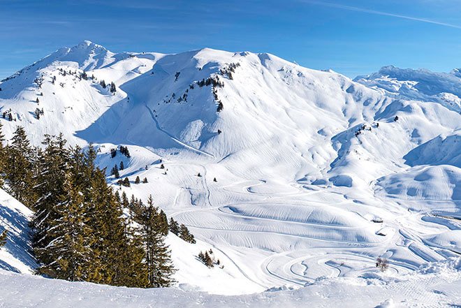
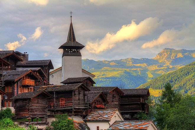
News
Filter by All
- All
- France
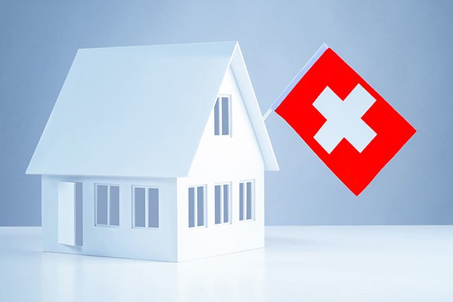
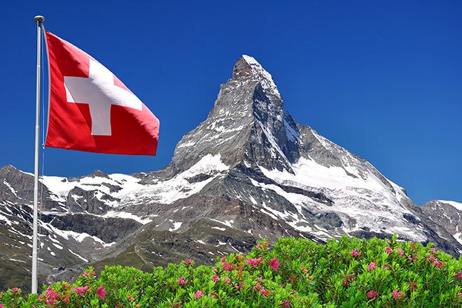
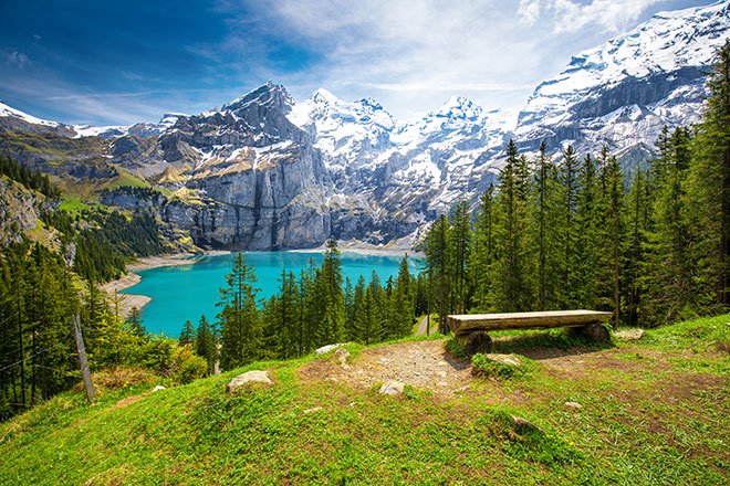
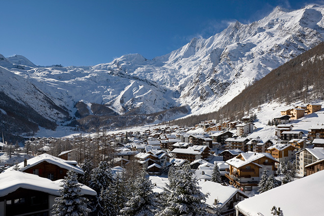
- Switzerland
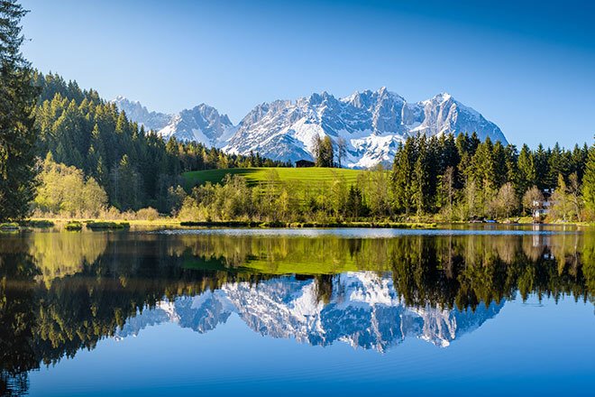
- Austria
- USA

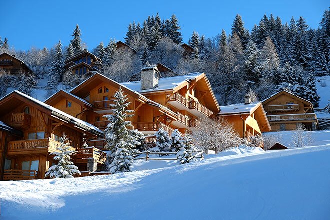
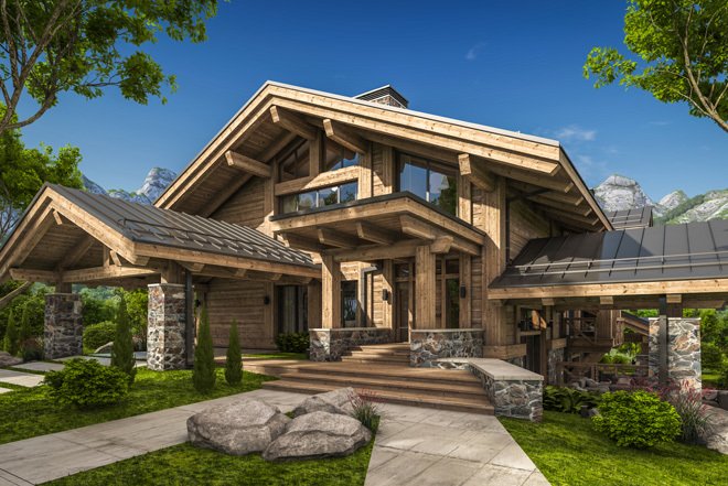
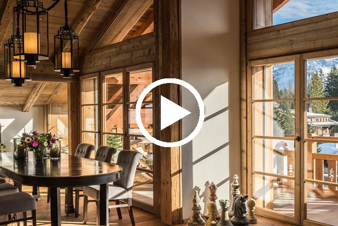
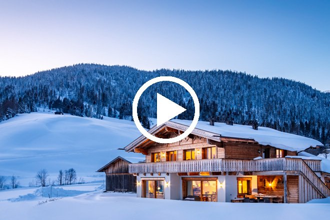
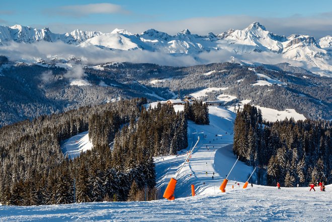
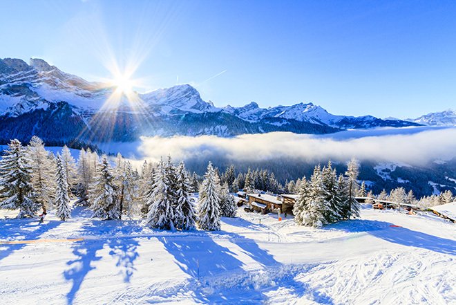
The Best of The Best - Our top 10 Properties
25 Jun, 2026Every year we feature hundreds of Alpine properties, each offering something different. Although every development has its strengths, a select few stand out for their location, design, facilities or overall...
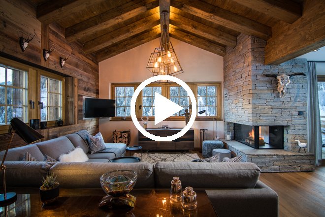
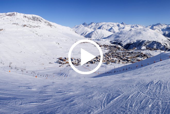
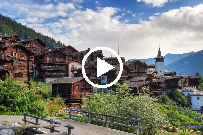
The Appeal of Resale Chalets in Les Trois Vallees
27 May, 2026A brand-new apartment or a traditional Alpine chalet? This is a question many buyers ask themselves when purchasing property in the Alps. Whilst new developments continue to attract strong interest...
Non-EU Nationals - A Buyer’s Guide to the Alps
29 Apr, 2026Fortunately, not having an EU passport does not restrict buyers from investing in the Alps. In fact, the process can still be straightforward, with international buyers able to access mortgage...
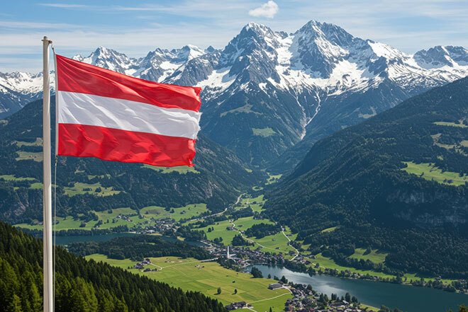
Investing in Austria – what are the options?
29 Mar, 2026Home to some of the oldest ski resorts in the world, many clients like to buy properties in Austria for its authentic feel and exceptional beauty. Filled with traditional chalets,...
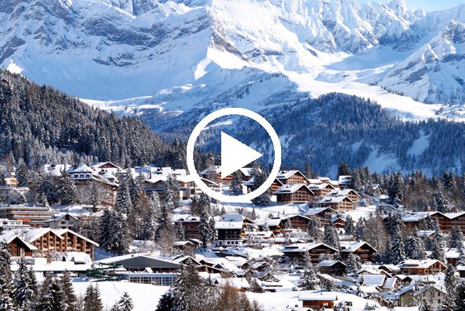
Looking Beyond the Big Names in the Alps
25 Feb, 2026Owning property in Verbier, Lech or Val d'Isere is often seen as the height of Alpine prestige. However, as prices rise and regulations vary, buyers are finding better value in...
Buying in the Alps: Investment Opportunities
28 Jan, 2026People buy property in the Alps for many different reasons. For some, it is a second home to enjoy with family and friends; for others, it may be a primary...

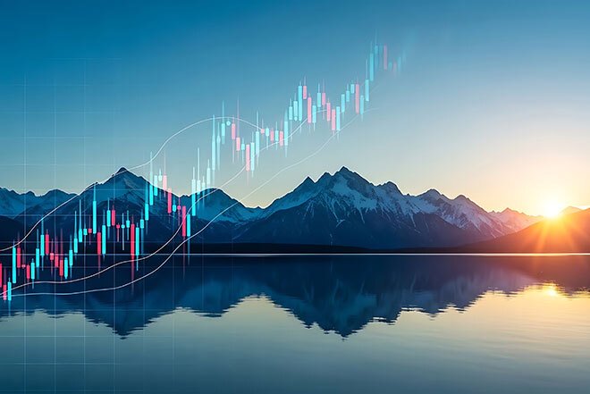
2026 – Looking at the Market Ahead
22 Dec, 2025Each year we see an influx of investments across the Alps and after 35 years of close analysis on the alpine property market, it’s safe to say we know how...

Property Spotlight: our favourites
20 Nov, 2025As snow begins to fall and ski jackets are taken out of cupboards, the dream of owning your own chalet becomes more prominent. The season has finally started. It’s a...
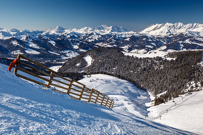
The Highlights - French Resorts
29 Oct, 2025Choosing a French resort to invest in will always be hard, the selection is simply too good. We have over 20 resorts in the French Alps alone and could list...
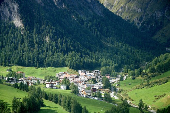
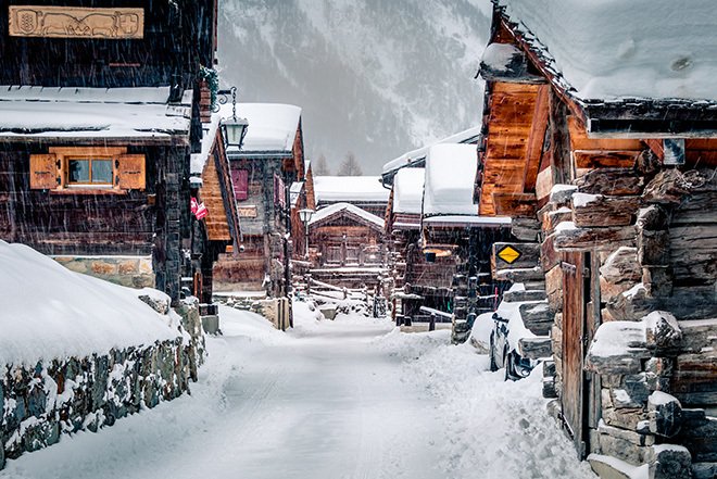
Samnaun – the secret resort between two countries
26 Sep, 2025Settled east of Switzerland in the Engadin valley, Samnaun is a small but special resort tucked away from the masses. This remarkable town just 1.5 hours from the airport is...
Buying in The Alps – The Guide
26 Aug, 2025When thinking of buying a property in The Alps, it is always an exciting and fun prospect to gaze through all the extravagant and luxury chalets and apartments, imagining your...
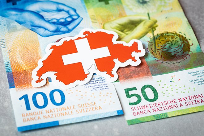
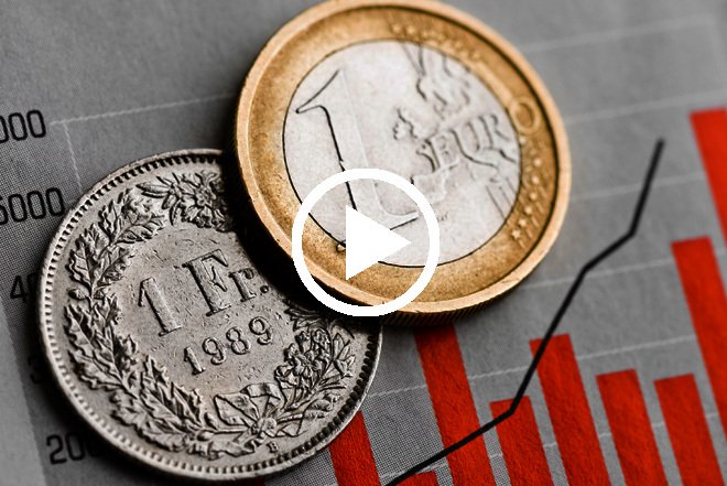
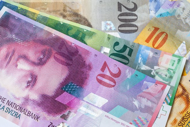
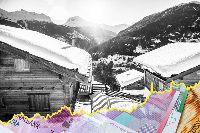
Swiss Interest Rates & Opportunities for Property Investors
27 Jun, 2025The Swiss National Bank recently cut its interest rates to zero, reducing it by 0.25% as it teeters on the edge of negative rates. The inherent strength of its currency...
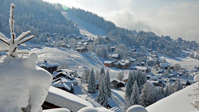
The Swiss Summer Schedule
28 May, 2025As always, we like to bring you the best selection of events across the Swiss Alps during the summertime. The mountains are full of life and the summer schedule this...
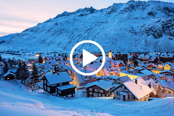
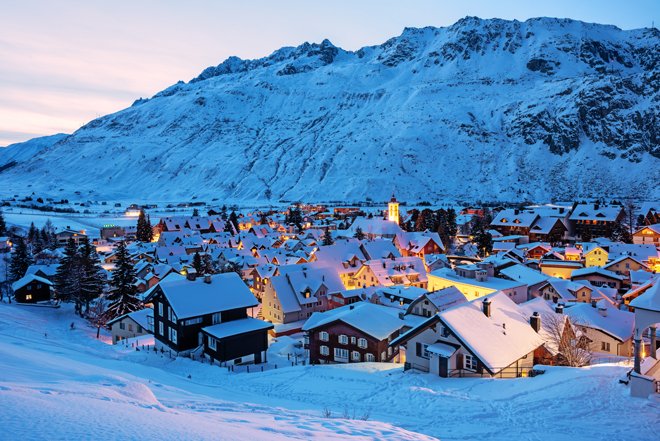
Andermatt - The Ideal Investment?
29 Apr, 2025One resort which is receiving a lot of attention across the Alps and indeed the entire world, is Andermatt. This small village has been transformed over the past decade into...
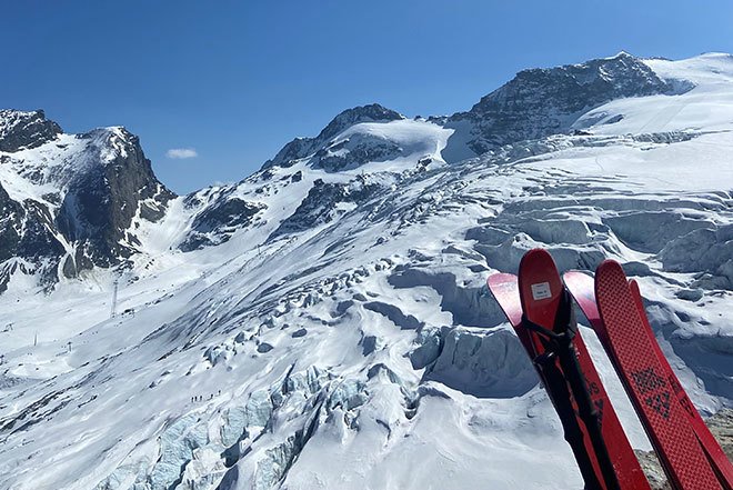
Skiing into Spring
26 Mar, 2025If you are feeling like us and you are not ready to end the ski season just yet, then keep your boots on, you are in luck! Fortunately, the start...
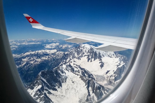
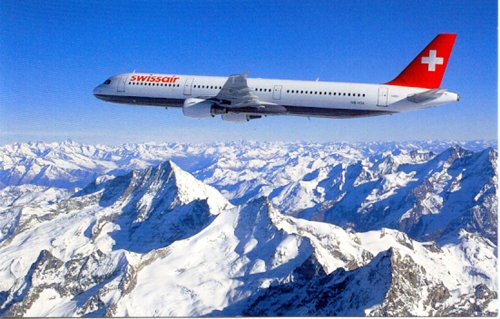
From the Sky to the Slopes in 90 Minutes
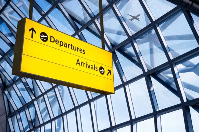
25 Feb, 2025For a lot of clients, proximity to the airport is top of their criteria. Some people want a hassle free and quick journey to their resort to maximise ski time...
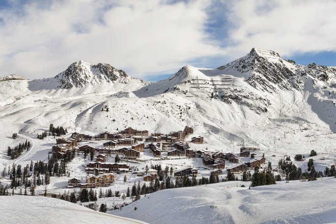
The Two High-Flying Resorts
29 Jan, 2025Val d’lsere and Les Deux Alpes earn their titles as ‘high-flying’ resorts in more ways than one. Both boasting a resort altitude of over 1650m and peak altitudes of over...
Our Experts Pick their Favourite Resorts
19 Dec, 2024This Christmas we thought we would give you a little insight into each team member’s personal favourite resort. Although we all appreciate the beauty of every resort, we each have...
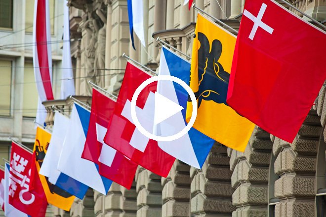
What are the different types of Swiss property?
26 Nov, 2024Which type of property can foreigners buy in Switzerland? Foreigners may only buy residential properties in Switzerland which are authorised for sale to foreigners. Swiss nationals and EU citizens who...

The state of the market – ski property in the Alps 2024
30 Oct, 2024Investors in Property sell more properties in more resorts than any other agent. We have over 360 properties in 50 resorts in Switzerland, France and Austria so we know the...
Exploring Les 4 Vallées
28 Aug, 2024Covering over 410km of slopes, Les 4 Vallees is the biggest ski area in Switzerland and is home to six charming Swiss villages. Although it is tempting to group them...
A Guide through Les Trois Vallées
30 Jul, 2024When thinking of the world’s greatest ski area, featuring a huge variety of slopes, a myriad quaint villages, extraordinary beauty and a vibrant après scene – then one place instantly...
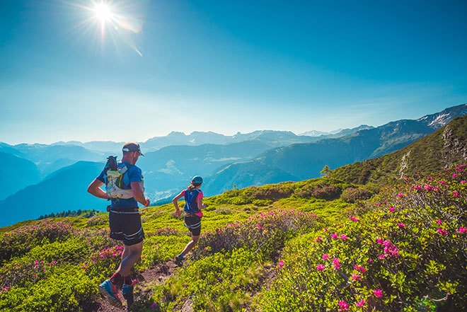
Where Can I Ski In Summer?
25 Jun, 2024For most people, summer marks the end of the ski season and the countdown to winter fun and games starts all over again – but this doesn’t have to be the case....
Austria FAQs
27 Mar, 2024What are the buying options in Austria? Second Home If you prefer not to rent your property, we are able to offer a small selection of properties that have a...
Buying a property in Switzerland - What you need to know
11 Mar, 2024Can foreigners buy a property in Switzerland? Yes, foreigners can buy property in Switzerland but there are restrictions at national, regional and local level on where and what foreigners may...
Top Properties of the Season 23/24
29 Jan, 2024Although just half way through the season, we have already seen a high demand in reservations and sales in most of our top developments. We thought it would be wise...
Our top-ranking French resorts 2023
29 Nov, 2023Choosing our overall top French resorts is incredibly difficult as they offer such wonderful and varied attractions. We have decided that it would be more helpful to name our favourite...
Our Top Swiss Ski Resorts 2023
03 Nov, 2023In recent years there has undoubtedly been a huge surge in demand for those wanting to invest in properties in the Swiss Alps. Buyers worldwide have been flocking to buy...
Looking Beyond Kitzbuhel
27 Sep, 2023When it comes to investing in ski properties in Austria, Kitzbuhel often stands out as a top choice. Its reputation as a world-class ski resort and its picturesque alpine surroundings...
Our Top 5 Swiss Summer Resorts
27 Jun, 2023As the ski helmets turn into sun hats and goggles into glasses, you know that the eagerly anticipated summer in the Swiss Alps has finally arrived. Fortunately, the resorts more...
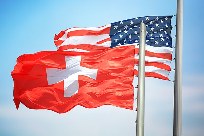
USA Client FAQs
12 Jun, 2023As we’ve seen an upturn in clients based in the USA, we thought we’d provide a tailored FAQs article on what you need to know to buy in the Alps. These...
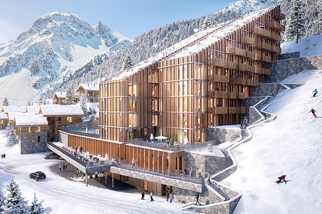
The Return of New Swiss Properties
25 Apr, 2023This month, we thought we would delve into an array of our favourite brand-new Swiss developments. With the Lex Weber law being established for a good few years now, developers...
Spotlight On: Portes du Soleil
29 Mar, 2023Whatever the month or time of year, the Portes du Soleil continuously proves to be the best year-round ski region with countless attractions. Covering an astounding 650km of terrain, the Portes...
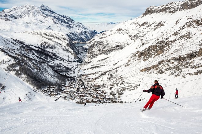
Val d'lsere - The Place to Be
23 Feb, 2023Globally renowned as one of the world’s most iconic ski resorts, Val d’lsere has always been on everyone’s list, but this year the snow-sure resort is sitting comfortably at number...
Updates in The Alps: 2023
30 Jan, 2023With a steady snowfall across the Alps blessing the new year, we already know that this season is going to be one of the best yet. Covid is a distant...
Take the Fast Track to the Perfect Ski Holiday
28 Oct, 2022Our favourite time of year has returned- snow is falling, chair lifts are opening and the anticipation for our first run is growing stronger by the minute! As we began...

Swiss Seller FAQs
27 Jul, 2022Are you considering selling your ski property in Switzerland? We have over 35 years’ experience selling Swiss property so here is some expert advice based on the most frequently asked...
Investors in Property: End of Year Review 2021/22
21 Jun, 2022After an eventful and exciting year where we were delighted to be back up in the beautiful mountains, we thought it was time to write a review on this season’s...
Summer in The Alps - What's On?
27 May, 2022The Alps are rightly world- famous for their winter beauty and enchanting ski resorts, but don’t fall into the trap of ignoring what they have to offer at other times...
Travel is back on! - here are the latest requirements (or lack thereof!)
03 May, 2022We're sure many of you are looking to get out to the Alps and thankfully this is now possible, so here's some information the might be helpful. The rules change...
Megeve – Explore the Resort of Elegance and Charm
28 Apr, 2022As one of our favourite resorts, we just knew that the enchanting Megeve rightly deserved an article all of its own. Renowned for its medieval charm, glamorous boutiques and atmosphere...
Ski in, Ski out - The Ultimate Convenience
30 Mar, 2022The past couple of years have seen a lot of changes to the Alpine property market, but one thing that never changes is the demand for a ski in, ski...
The Times - Family Friendly Alpine Ski Resorts
17 Feb, 2022With more and more attention being shown to the mountains these days, Cathy Hawker of The Times has written a piece on some of the best family friendly resorts. As...
The Swiss Purchase Process
20 Oct, 2021I have been selling property in Switzerland for over 35 years but even I am surprised to learn something new occasionally. This is in part because the rules can often...
French Resort Overview
29 Sep, 2021Are you as excited as we are for the French ski resorts to reopen? Whether you’re wishing to return to an old-time classic, or you’re ready to explore somewhere new,...
Alpine Property - 4 pieces of advice the local agents won't give you
29 Jul, 2021The Alpine real estate landscape is, in many ways, like any other. There are a variety of agencies working at local and regional levels, there is a great deal of...

Ski Property Expert: Buying or Selling a Hotel
23 Jun, 2021Having recently concluded the sale of a hotel in Saas Fee, our MD Simon Malster explains the process and gives some tips which will help you if you are looking...
Video: Winter In Wengen
28 May, 2021A video introduction to Wengen in Winter & the Jungfrau Ski Region.
Ski Property Expert Simon Malster on why he chose Saas Fee for his own apartment in the Alps
21 May, 2021I am often asked by clients if I own a property in the Alps and the next two questions are usually where and why? So here is my personal account...
Investors in Property: End of Year Review
23 Apr, 2021As the 20/21 Ski Season draws to a close and we move into year two of the Coronavirus Pandemic, our Managing Director, ski property expert Simon Malster, sat down to...
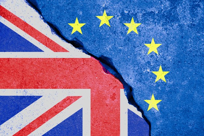
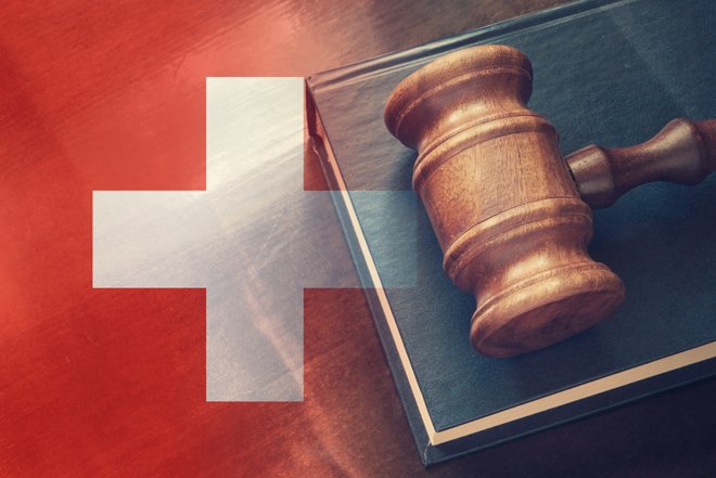
Brexit & The Alpine Property Market
24 Feb, 2021Now the UK has left the EU, UK citizens are subject to new restrictions and the time they can spend in the EU is now limited. They can only stay...
Video: An Introduction to Andermatt
16 Feb, 2021A video introduction to the dual-season mountain resort of Andermatt.
Swiss Alps Property - Understanding the market in different resorts
28 Jan, 20212020 was a surprising success for Swiss property sales, as reported in our previous article, so with interest at an all-time high, we thought it was about time we gave...
7 top tips for buying a property in the Alps
12 Jan, 2021With over 50 years of combined Alpine property sales experience between us, our team has seen it all. The good, the bad and the ugly. We have seen clients purchase...
Escape to the Swiss Alps
01 Dec, 2020It has been the strangest of years for everyone but despite everything, Switzerland has endeavoured to keep itself both open and safe; meaning it might be the only Alpine nation...
2020 & The Alpine Property Market
11 Nov, 2020Collins Dictionary’s word of the year for 2020 was announced this week; lockdown. Along with self-isolate, social distancing, furlough, key-worker & coronavirus in the longer list of ten, these choices...
Buying in Switzerland - Rules, restrictions, complications & solutions
05 Nov, 2020Switzerland has been our best-selling market for years now, and the turbulence this year has only reinforced the popularity of property in the Swiss Alps. The combination of fresh mountain...
Coronavirus & the Alpine Property Market
15 Jul, 2020In this article we discuss the current situation regarding travel to and from the Alps, what’s open, property viewings and the overall impact the coronavirus pandemic has had on the...
Finding a Property: Best Luxury Apartments on the Market
10 Jul, 2020Ski property expert Simon Malster discusses luxury ski apartments in the Alps.
Finding a Property: Chalets under 3m EUR
10 Jul, 2020Ski property expert Simon Malster makes some recommendations of chalets available for under 3m EUR in the French & Swiss Alps.
Finding a Property: A chalet for under 1 million CHF/EUR
10 Jul, 2020Ski property expert Simon Malster talks through the best resorts to consider when looking for a chalet priced at 1m CHF/EUR or less in the Alps.
Finding a Property: An apartment for 400k GBP
10 Jul, 2020Ski property expert Simon Malster gives his view on where best to look for an apartment for £400k or less in the Alps.
Finding a Property: Chalets over 4m CHF/EUR
10 Jul, 2020Ski property expert Simon Malster runs through the best luxury chalets currently on the market and where you can find them.
Choosing a Resort: My Personal Advice
22 Jun, 2020In the sixth & final video of this series, Simon gives his own personal advice on how to choose a ski resort in which to buy a chalet or apartment.
Choosing a Resort: Resorts You May Not Know
22 Jun, 2020In the fifth video of this series, Simon has a look at some of the lesser known resorts that buyers should consider when looking for an Alpine ski property.
Choosing a Resort: High Altitude & Big Ski Areas
22 Jun, 2020Fourth in the series, here Simon discusses the importance of high altitude resorts and big ski areas.Big name resorts and the lesser known alternatives.
Choosing a Resort: Rental Investment
22 Jun, 2020In the third video of this series, Simon discusses the best Alpine ski resorts for those who are looking for a good rental return on their property.
Choosing a Resort: Weekend-able Resorts
22 Jun, 2020In the second video of this series, ski property expert Simon Malster discusses the best options in the Alps for an easily weekend-able ski chalet or apartment.
Choosing a Resort: Introduction
22 Jun, 2020NEW SERIES: Simon discusses some of the key factors to consider when choosing a ski resort in which to purchase a property.
Video: Summer in Wengen
18 Jun, 2020A video introduction to the stunning scenery and classic Swiss charm of Wengen.
Ski Property Expert: Summary
22 May, 2020Ski property expert Simon Malster provides an overview of the pros and cons of buying a ski property in Switzerland, France & Austria.

Ski Property Expert: Tax & VAT
22 May, 2020Ski property expert Simon Malster discusses the tax & VAT situation for property purchases in France, Switzerland & Austria. Not all bad news. There are some great tax incentives.
Ski Property Expert: Rules & Regulations
22 May, 2020Ski property expert Simon Malster discusses the rules and regulations regarding buying a second home in the Swiss, French & Austrian Alps.
Ski Property Expert: Mortgages & Currency
22 May, 2020Ski property expert Simon Malster discusses finance options for property buyers in the Swiss, French & Austrian Alps and the pros and cons of buying in CHF or in EUR.
Ski Property Expert: An Introduction
22 May, 2020We asked ski property expert Simon Malster to compile some of the questions he is most commonly asked regarding the purchase of a ski property in the Alps.
The Swiss franc – a safe haven; Truth or myth?
06 May, 2020This week our Managing Director, Simon Malster, put pen to paper regarding one of the most frequently asked questions we receive on Alpine property; is the Swiss franc truly a...
Buying a property in the French Alps - What you need to know
06 May, 2020Buying a home in the French Alps is an attractive prospect for many keen skiers who spend year after year visiting the area for their holidays. But just how...
Ski property expert Simon Malster on what you need to know when buying a property in the Alps
15 Apr, 2020This week our Managing Director Simon Malster, was due to travel to Belgium and the Netherlands to meet clients and discuss their interest in an Alpine ski property. Due to...
Video introductions to Swiss resorts
11 Mar, 2020In the Autumn of 2018 we asked some local photographers and film-makers to put together a short video that gives a flavour of Saas Fee. The idea was to capture...
How to pick a ski resort in which to buy a chalet or apartment
12 Feb, 2020Investing in a ski chalet or apartment in the Alps is a big decision. It is a complex one too as there lots of different variables to consider. Before you...
Video: An Introduction to Grimentz & the Val d'Anniviers
05 Feb, 2020A video introduction to the historic ski village of Grimentz and the thrilling Val d'Anniviers ski region.
Spear's Magazine: Why Saas Fee is in the property spotlight
28 Jan, 2020In a recent article for Spear's Magazine Catherine Moye dissected the emergence of Saas Fee as one of the most attractive investment areas in the Swiss Alps. Catherine points to...
The Swiss Franc as a Safe Haven
15 Jan, 2020Investopedia defines a “safe haven” as “an investment that is expected to retain or increase in value during times of market turbulence”. Classic examples of safe haven investments include...
Villars - The Resort on the Comeback Trail
24 Oct, 2019Villars was one of the first Swiss resorts discovered by overseas buyers as they looked to purchase their very own ski property. Several very positive features, which are discussed below,...
Ski Weekends 2019/20 - Join Us!
05 Sep, 2019In addition to the comprehensive range of city visits we will be holding this autumn, we are planning a number of “ski weekends” over the course of the 2019/20 ski...
Client Meetings Autumn 2019 - Book now!
29 Aug, 2019As always, in the build up to the 2019/20 ski season, our managing director Simon Malster will be holding a number of meetings with interested buyers in cities across Europe...
Video: An Introduction to Les Collons & Veysonnaz
08 May, 2019A video introduction to the Les 4 Vallées ski resorts Veysonnaz & Les Collons.
Top 5 Alpine Investment Locations
01 May, 2019Another ski season comes to an end, the chairs have stopped rotating and the pistes shall be bashed no more. It’s been an interesting season in terms of developments, property...
Evening Standard: Holiday homes in Switzerland
30 Apr, 2019In The Evening Standard's Homes & Property this week, Cathy Hawker drew attention to the traditional, year-round appeal of Grimentz and the wide range of new and resale properties available...
Video: An Introduction to Saas Fee
19 Feb, 2019A video introduction to the high-altitude Swiss ski resort of Saas Fee.
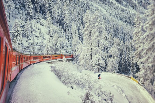
Airport to Ski Resort by Rail
14 Feb, 2019The idea of arriving for your ski holiday by rail is an attractive one. Travelling by rail can be a relaxing and civilised experience in a way that a journey...
The Rise and Rise of Saas Fee
06 Dec, 2018Saas Fee has always been a firm favourite of ours thanks to its charming, traditional village feel, snow sure slopes, year-round appeal and dramatic peaks. Now it seems others are...
The Daily Telegraph: Ski in winter and swim in summer: where to live on Europe's loveliest lakes
27 Sep, 2018In a recent article in The Daily Telegraph, Liz Rowlinson investigates the dual season potential of buying a lakeside property in the Alps. The piece, which can be read in...
Jungfrau Region Open Weekend: 16th - 17th June 2018
05 Jun, 2018Jungfrau Open Weekend With the success of our 4 Valleys open weekend in March; we have decided to hold another in the picturesque Jungfrau region of Switzerland. This world famous...
5 Swiss Ski Resorts You Should Know About
20 Oct, 2017Switzerland is home to some of the most well-recognised ski resorts in the world. St. Moritz, Verbier and Zermatt, in particular, are world-renowned for their extensive ski areas, bustling atmosphere...
Buying Ski Property: Visits
05 Jun, 2017One of the best litmus tests for whether or not you like a ski resort is to go on a visit. That’s true even if you’ve been going to the...
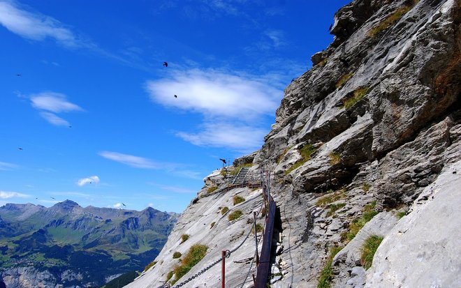
The IIP top 5 mountain hikes
18 May, 2017It’s mid may, summer is around the corner, and our skis and boots have been retired until November. The snow has mostly melted, and the time has come to turn...
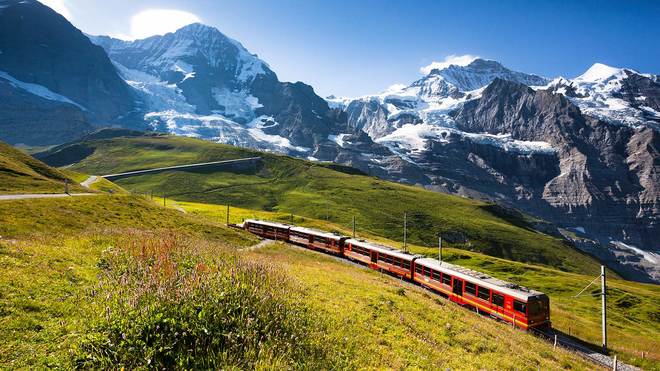
The long way to the Alps: Taking the train
16 May, 2017When it comes to journeys to the Alps, the common belief is that the faster you get there, the better. I mean, haven’t we all had that one traumatic journey...
Insider's Guide to Les Carroz
11 May, 2017When it comes to the Grand Massif, Les Carroz is hardly the first resort you think about. That honour normally goes to Flaine or Samoens on either side of the...
Winter Returns to the Alps
02 May, 2017This season has been somewhat unpredictable on the weather front, unless you’re looking at North America, where there has been an absolute snow bonanza. In Europe though, the snowfall has...
Ski 25 Swiss Ski Resorts on One Pass
25 Apr, 2017In most of the resorts across Europe, the ski season has ended, seasonaires are packing their bags, and the bars, restaurants and shops are closing their doors. Even those people...
What ski properties have sold this winter?
19 Apr, 2017Easter has come and gone, we’re midway through April, and the season in most of Europe is coming to a close; this seems like as good a time as any...
IIP's Top Resorts for Easter Ski Trips
13 Apr, 2017The Alps really know how to do Easter. From egg hunts to Easter bunnies roaming the slopes giving out special treats to kids, skiing over Easter can be a great...
The IIP top 5 resorts for spring skiing
21 Mar, 2017It’s mid-march, and spring skiing has arrived with a vengeance. The days are longer, the afternoons sunnier and resorts across the Alps are enjoying the concerts, competitions and testing days...
Top 5 ski properties to buy on a budget
16 Mar, 2017Buying a ski property can be a treacherous world when you’re on a budget. The best known resorts come with the price tag to match their reputation, and not all...
Sion in the news: flights tested, new airlines arriving and an olympic bid
14 Mar, 2017In recent years, Sion has become rather a footnote on the way to Verbier or Zermatt. The recent announcement that the airport will be seeing commercial flights once more has...
The Weber Law: The End for Swiss Second Homes
02 Mar, 2017Switzerland, an idyllic land of lakes, mountains, streams and snow, is a dream retreat for people from all over the world. Charming, high altitude villages, vast ski areas, a stable...
City A.M.: Legal changes that may make Swiss property purchases more costly in future
24 Feb, 2017In an article published in this morning's City A.M., our managing director Simon Malster gives his overview of the Swiss property market, describing how the changing legal situation in Switzerland will...
4 Foodie Favourites in the Alps
16 Feb, 2017The famous cuisine of the Alps is traditionally very meat and cheese heavy. From tartiflette to fondue, Alpine food tends to be very filling and just a little bit rustic....
Buying Ski Property: February Half Term
09 Feb, 2017When it comes to skiing, February is the very peak of the season. Traditionally, this is when sunny piste-side restaurants are filled with skiers and snowboarders, slopes are busy and...
Buying a Ski Property: Choosing your Resort
02 Feb, 2017When you’re looking at buying a ski property, your resort of choice is likely to be somewhere you’ve visited before. For many buyers, that means Meribel, Courchevel, Verbier, Zermatt, Val...
Find great snow and a pretty village in Grimentz
19 Jan, 2017There has been a lot of talk over the last few years about Grimentz. The Val d’Anniviers was one of the first ski areas to embrace freeriding, and the powder...